
Chantilly Neighbors: Block Sources
Chantilly is an unincorporated Fairfax County community. That means a block search uses county address, parcel, and civic tools rather than a city neighbor roster. Each source below has a narrow function. Combine them only after noting what each one actually shows. An adjacent parcel can identify land next to an address, for example, but it does not identify everyone who may be present there.
| Source | What It Shows About a Block | Access |
|---|---|---|
| Fairfax Jade GIS | Parcel geometry, map layers, imagery, measurement, and buffer selections | Free dynamic map |
| Fairfax iCare | Assessment fields, owner value when shown, mailing and situs fields | Free web search |
| Master Address Repository | Current or historical address rows, parcel links, street status, and filters | Free table and export |
| My Neighborhood | Precinct, polling place, officials, public facilities, and local service context | Free address report |
| Community-association records | Submitted group details, contact fields, and boundary streets when a group participates | Voluntary county list |
Parcel owner, mailing recipient, directory subscriber, and current occupant are different roles. The public tools can help map the block and establish dated record relationships, but they do not form a complete household list. Keep a source label beside every address and do not fill a gap with a same-name guess.
Chantilly Neighbor Parcels First
Start by preserving four identifiers separately: the address exactly as typed, the Fairfax parcel or map number, the physical situs location, and the postal city or ZIP. Those values can differ even for one location. The Master Address Repository provides address, parcel, street, city, ZIP, subdivision, date, and status filters. It can return current, historical, or all status and export filtered results, which makes it a useful first check when a street name has changed.
Then use iCare to view the parcel’s assessment trail. Its result may show the property location, owner value, mailing address, assessment year, sales, and physical characteristics. It is not a title decision and does not prove current presence. A mailing field can belong to an owner, management contact, or another address. Record the result date and compare the parcel identifier with the GIS map before moving outward to the adjacent lots.
Note: MAR is the county address authority, but it omits apartment unit numbers and does not turn a building or parcel into a residents list.
Map a Chantilly Block
Jade is the county’s map application for parcel layers, property reports, current and historic aerial imagery, measurement, printing, and export. Its buffer controls can use parcel center points or polygons. That makes it useful for selecting a small area around a verified address, but the buffer is a research device, not a statement about a community or who lives in it.
- Confirm the starting address in MAR or iCare. Save the exact spelling, unit if known, ZIP, status, and parcel or map number.
- Open the address or parcel in Jade and turn on only the layers needed for the question. Record the map date and selected layer.
- Use the parcel polygon or center point with Jade’s distance and units controls, then run Select By Buffer to identify the nearby parcels.
- Open each parcel report or iCare result separately. Preserve the source, search date, parcel identifier, and displayed role instead of copying one value across the block.
- Use My Neighborhood for precinct and facility context, then check the current elections source for a civic question.
Jade also offers Clear Buffer Graphic, map export, and image tools. Clear an old selection before changing the radius so the next result has a traceable boundary. For a whole named street rather than the immediate block, the Chantilly street directory uses a different, address-by-address chain.
Chantilly Neighbor Address Labels
Chantilly can be a postal label, Census Designated Place, subdivision name, or community description. USPS uses CHANTILLY for more than one ZIP, while Fairfax County systems organize information through parcel, precinct, tax, and address records. A postal line alone therefore cannot establish a Census boundary or recording jurisdiction. Preserve the original wording and add a normalized Fairfax County or parcel field when available.
Route 50, a subdivision street, a historic farm reference, and a newer planned-development address may travel through county systems in different forms. MAR can show historical address status and used or reserved street names. A deed may use acreage, an adjoining owner, a road, stream, or subdivision reference instead of a current number. Treat those variations as evidence to reconcile, not as license to substitute one address for another.
Jade’s historic imagery reaches back to 1937 and the Fairfax GIS hub provides county map resources. Those visuals can establish context for a road or building footprint, not a list of occupants at any time.
Chantilly Neighborhood Records Context
The county’s My Neighborhood report provides civic information from a complete address. Its autocomplete path and map-click option lead to elected officials, voting information, assigned public schools, nearby public-safety facilities, libraries, post offices, hospitals, and parks. This is often the right next step after a parcel has been verified because it describes the block’s public-service setting without claiming to identify residents.
A historical Fairfax elections street file can show street ranges, ZIP, precinct, and district columns. It is not a current voter roll. For example, the research found different precinct rows along CHANTILLY RD under ZIP 20151. That demonstrates why a road name or ZIP should not be used as a shortcut to a current precinct, much less a roster of people. Use the current elections portal for a person’s own status and polling-place task.
Chantilly Neighbor Association Records
Fairfax County recognizes civic and neighborhood associations and maintains a voluntary database through Public Affairs. The county association topic page explains the umbrella resource and links the submitted list. A group’s absence from that list proves neither that a community does not exist nor that it has no local activity.
| Community resource | What the record can provide | Important limit |
|---|---|---|
| County association overview | County context and route to a voluntary association list | County support does not establish membership |
| Association update form | Legal name, type, district, contact, meeting month, count, website, and boundary streets when submitted | Submission is voluntary and becomes a public record |
| Neighborhood and Community Services | County community-engagement programs and service directory | It is a county umbrella, not a neighbor roster |
| Opportunity Neighborhoods | Defined county community framework; Centreville is listed among the areas | No Chantilly-specific organizing group was identified in the source |
The county association overview is available from Fairfax community associations.
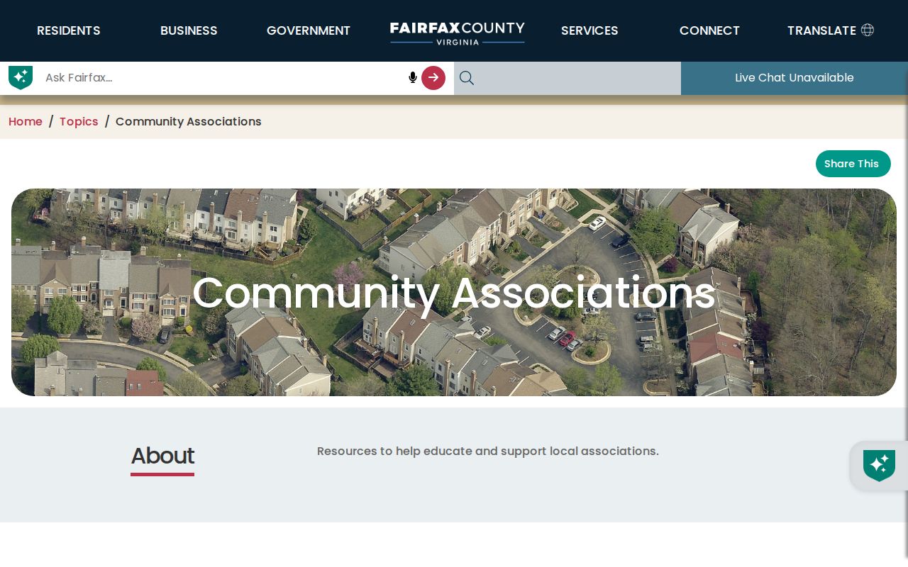
Use the overview to find a submitted community contact or boundary clue, then confirm the group’s current details through its own current contact information.
The submitted-record fields appear on Fairfax County’s association update form.
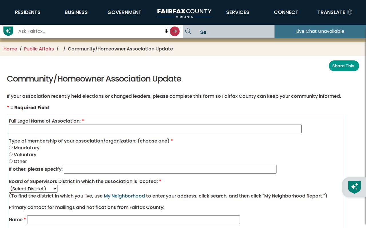
Boundary streets can be useful alongside MAR and Jade, but a submitted form is not a parcel survey or a complete map of a neighborhood.
Chantilly Neighbor Tool Comparison
Different tools support different claims. A county map can orient a parcel, while iCare reports assessment data and a recorded instrument establishes a dated transaction. A commercial neighbor-tool category may mix old addresses and unrelated names from unclear sources. Returning to the original custodian is the safest way to correct or verify a detail.
| Tool type | Strength | Limit for a block question |
|---|---|---|
| County parcel and address tools | Known custodian, address or parcel scope, dated official fields | Do not establish complete occupancy |
| Recorded land records | Recorded parties, legal description, and instrument history | Do not establish a current household |
| Voluntary community records | May identify group context and boundary-street clues | May be absent, old, or incomplete |
| Commercial neighbor category | May offer a broad starting clue | Source, date, and name matching can be unclear |
For a transaction or title question, use the Fairfax Circuit Court Land Records Division. Deeds and instruments are public, but the deeper index is available through CPAN or courthouse research terminals. An index entry is still a finding aid, so open the document or use the clerk’s process where the precise record matters.
Greenbriar’s Chantilly Directory Clue
Fairfax local-history holdings preserve a Greenbriar Telephone Directory cataloged as Chantilly, Virginia, for 1980. It is a good example of how a neighborhood name and a broader postal or community label can overlap without being interchangeable. The item can help with a dated historical question, but Greenbriar is not a label for all of Chantilly and a telephone listing is not a complete household record.
The Fairfax local-history directories collection also lists community, telephone, criss-cross, street, and neighborhood holdings. Pair a historical listing with the volume’s coverage, date, printed address, and another record type. A directory absence may reflect an unlisted number, an incomplete run, or a different geographic title rather than an empty block.
Chantilly Neighbor Services Context
County-level community resources add useful context after the parcel work is done. Fairfax Neighborhood and Community Services maintains programs and a searchable Human Services Resource Guide. The county framework is broader than Chantilly and should be described that way. It does not replace a verified neighborhood association or create a block-level directory.
The county service umbrella is shown on Fairfax Neighborhood and Community Services.
Use its program information to understand county resources near a verified address, not to draw conclusions about who is connected to a block.
The defined-area program is presented by Fairfax Opportunity Neighborhoods.
Centreville appears in that county framework, while the research did not identify a separate Chantilly organizing resource, so that distinction should remain clear.
Chantilly Voter Records Stay Limited
The Virginia Citizen Portal supports registration, individual status, polling-place, and absentee tasks. It is not a public search by name and address. Virginia Code §§24.2-405 and 24.2-406 restrict voter-list release, and public-inspection rules exclude protected identifiers. A voter-related record should never be treated as a list of everyone on a Chantilly block.
For a current civic boundary question, use a complete address in My Neighborhood or the official portal. A street can cross precinct, ZIP, subdivision, tax district, or community boundaries. The historical Fairfax street file provides a useful date-stamped cross-check, not a replacement for current election information.
Chantilly Neighbor Lookup Limits
Fairfax DTA may withhold an owner’s name from Internet display at the owner’s request. MAR does not include apartment units, and a parcel boundary may represent a road, stream, common area, or unassociated land rather than a nearby household. Virginia’s Address Confidentiality Program also protects eligible participants through a substitute address and limited disclosure. Missing data should be marked as a gap, not reconstructed from unrelated records.
Virginia FOIA can help with a narrow Fairfax agency record that is not available through a portal, but it does not override voter, vital, court, or confidentiality laws. Name the agency, address or parcel, record type, date range, and desired delivery in a Fairfax VFOIA request. The agency can charge actual search, copy, or supply costs and must follow the statutory response process.
Lawful use. Use a Chantilly neighbor lookup for a lawful personal, property, civic, family-history, or historical purpose. Do not use records to stalk, harass, intimidate, or make unwanted contact with any person.