
Chantilly ZIP Code Coverage
USPS postal material uses CHANTILLY, VA for three observed designations. That is the right starting list for a Chantilly ZIP search, but it is not a map of the Census Designated Place or a promise that every address under a postal label falls in the same community geography. Verify an individual address with the postal lookup and then reconcile it with Fairfax County address and parcel tools.
| ZIP | Areas and postal use | Post office source | Record-search note |
|---|---|---|---|
| 20151 | Main Chantilly mailing ZIP; seen in county street-file examples and sample parcel cards | Chantilly Post Office, 4410 Brookfield Corporate Drive | Use USPS and county address tools together before treating the label as a community boundary. |
| 20152 | CHANTILLY, VA postal designation, potentially near the South Riding and western Fairfax edge | USPS postal bulletin designation | The inspected source does not establish exact CDP or community coverage. |
| 20153 | CHANTILLY, VA postal designation with special or edge use in the postal list | USPS postal bulletin designation | Do not classify it as a PO-box or unique ZIP without an address-level USPS result. |
The USPS city and state ZIP lookup is the authority for current postal validation. Enter the address or city and state, retain the result date, and do not add nearby western Fairfax ZIPs merely because they are geographically close.
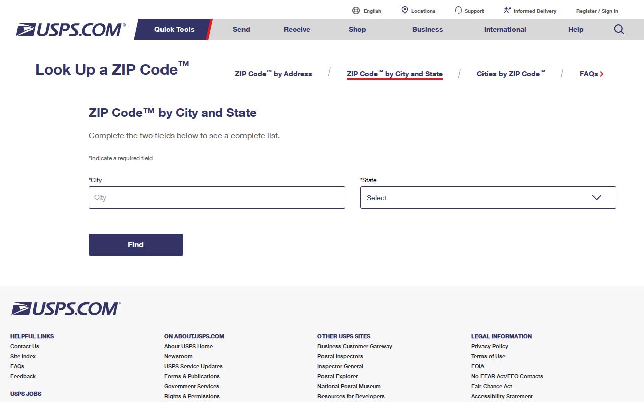
The postal lookup supplies a delivery designation, which is one field in a county record trail rather than the whole trail.
Chantilly Postal ZIP Labels
The official USPS bulletin is useful evidence that 20151, 20152, and 20153 carry a CHANTILLY, VA label. It does not expose a complete delivery polygon or a machine-readable PO-box or unique-ZIP classification for the latter two. Treat the labels as postal facts and use an actual address inquiry before assigning a neighborhood, community boundary, or delivery category.
The USPS postal bulletin entry documents the designation used here.
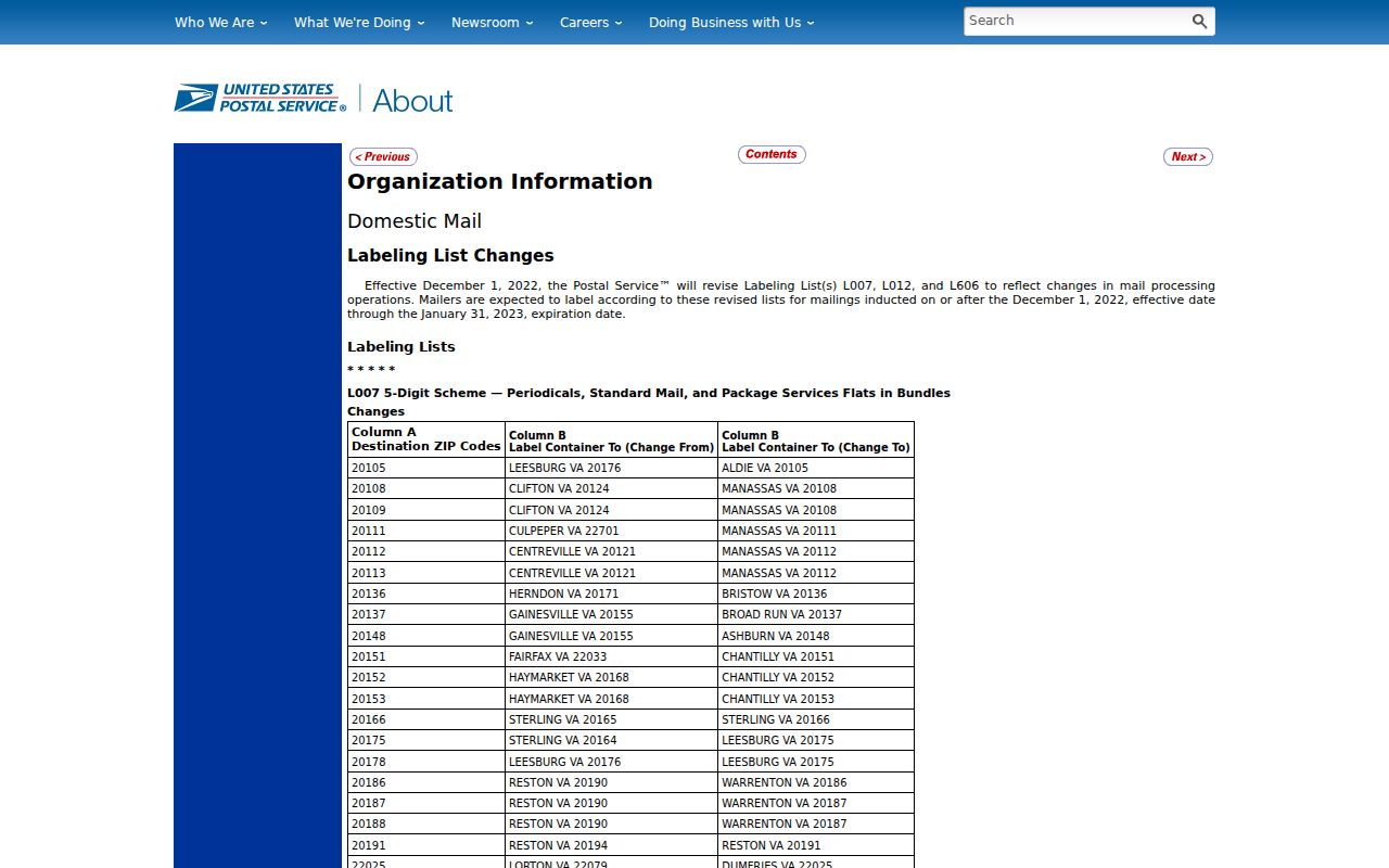
The captured bulletin supports the postal label, while an address-specific USPS result remains the better check for current use.
The Chantilly Post Office is at 4410 Brookfield Corporate Drive, Chantilly VA 20151-9998. The research record lists retail hours of 9 a.m. to 6 p.m. Monday through Friday and 9 a.m. to 2 p.m. Saturday, with self-service available around the clock. These details help identify the office, not a boundary for every 20151 address.
Filter Chantilly ZIP Address Rows
The Fairfax Master Address Repository, or MAR, is the strongest local table for a ZIP-based address pass. Its Address Search accepts ZIP code along with address number, street name and type, city, parcel ID, subdivision, created-date range, expired-date range, and status. The ZIP filter is optional. Current status is the default, while historical or all status can surface expired address records. MAR can export filtered or complete address rows to CSV.
| MAR filter | Required | How it helps a ZIP pass | Limit to keep in view |
|---|---|---|---|
| ZIP code | No | Limits county address rows to one postal designation | Does not prove a legal community boundary. |
| Street and address number | No | Refines a large ZIP result to a specific address | Keep the source spelling; older forms may differ. |
| Parcel ID and subdivision | No | Connects a row to county parcel context | A parcel may have no associated address. |
| Status and dates | No | Separates current rows from historical address history | An expired row does not establish occupancy. |
| Export | N/A | Saves a dated, filtered address table | MAR omits apartment unit numbers. |
Open Fairfax MAR with a ZIP only when a broad address inventory is needed. Then add a street, subdivision, or status filter rather than treating a countywide ZIP result as a directory of people.
Note: MAR is authoritative for county site addresses, but it does not carry DTA assessment data or addresses in the independent cities around Fairfax County.
Date Chantilly ZIP Counts
Fairfax County's ZIP interactive map offers current estimates and forecasts, property by type, age, market value, and parcel-linked demographic views. It describes a ZIP as a statistical slice, not a resident list. The captured 2015 county demographic figures therefore need an unmistakable date label: 20151 had population 21,736, 6,772 units, and 6,705 households; 20152 had population 3, one unit, and one household. The captured material did not show 20153.
Those figures should never be presented as a current count or used to describe every address using the label. A small historic count for 20152 does not settle its postal use, and the missing 20153 snippet is not a zero. The county's map is most helpful for comparing estimates and parcel-linked statistics after confirming the date and the selected ZIP.
View the Fairfax ZIP interactive map for the county's current published map layers and estimates.
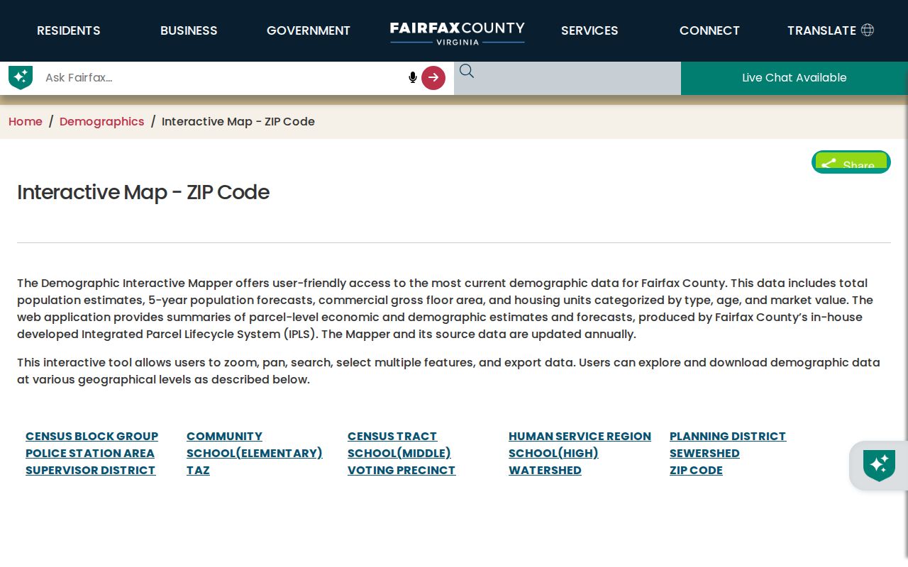
The map adds a statistical perspective, but it cannot substitute for an address-level county or USPS lookup.
Find a Chantilly ZIP Code Address
A ZIP code can narrow a search without naming a resident. Start with postal validation, then move through county address and property records. The result is a dated trail of address, parcel, and civic geography, rather than a claim that a ZIP itself identifies a household.
- Confirm the complete address and postal city through USPS. Keep 20151, 20152, and 20153 in separate notes.
- Filter MAR by ZIP, then add street, city, subdivision, status, or date filters when the result is too broad. Save the export date.
- Check the candidate in iCare by address or map number. Separate property location, mailing address, parcel, owner information, and assessment data.
- For civic geography, run the full address through My Neighborhood for current precinct, polling place, officials, schools, facilities, and nearby public services.
- For a historic question, pair the address with a deed chain, directories, census, newspapers, and the county property-history resources. A ZIP did not always exist in its current form.
- Repeat USPS and county checks when the current result matters, because postal designations, parcel data, and county records can change.
Fairfax iCare confirms a candidate parcel after a MAR filter. Once the ZIP has narrowed the geography to a named street, the Chantilly street directory provides the fuller address-by-address method.
Separate Chantilly ZIP Code Maps
Chantilly is a Census Designated Place and an unincorporated Fairfax County community. USPS uses postal city labels, the Census uses ZIP Code Tabulation Areas, or ZCTAs, and Fairfax maintains parcel and site-address records. Those systems overlap but do not describe the same boundary. A 20151 address may be in the Chantilly CDP or in nearby Fairfax community geography. A 20152 or 20153 label can appear in postal material without establishing a ready-made CDP boundary.
The Census ZCTA guidance explains that a ZCTA is an approximation built from address blocks, not a USPS delivery boundary.
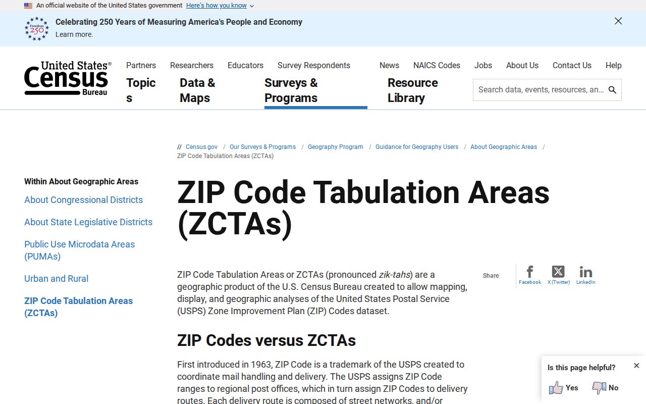
Use USPS for postal validation, the Census for statistical geography, and MAR or iCare for the county address and parcel record.
- ZIP code
- A USPS delivery designation used with a postal address.
- ZIP+4
- An added delivery segment that refines a ZIP for mail routing; it is not a local government district.
- PO-box ZIP
- A postal ZIP associated with box service; the research did not verify that classification for 20153.
- Unique ZIP
- A ZIP assigned to a single organization or institution; do not infer one without a USPS result.
- Carrier route
- A mail-delivery grouping that may cut across other local record boundaries.
Check Chantilly ZIP Code Precincts
ZIP, precinct, subdivision, tax district, parcel, and postal city deserve separate columns. The historical 2015 Fairfax elections street file places street ranges alongside ZIP and precinct. Its CHANTILLY RD examples show one road and ZIP 20151 paired with more than one precinct. That is why a ZIP filter can organize an address search but should not decide a current voting district or imply a particular resident.
For a current civic question, use the full address in Fairfax My Neighborhood or the Virginia Department of Elections Citizen Portal. The state portal supports an individual's registration-status and polling-place tasks. Virginia voter lists are controlled by statute, and a historical street row does not bypass those limits.
Limits of Chantilly ZIP Searches
A ZIP search can organize postal and county address research. It cannot prove that everyone using a CHANTILLY label lives inside one legal city boundary, establish an occupant, or complete an apartment-address inventory. MAR omits unit numbers, an address can have an expired MAR row, and a parcel can exist without an associated address. The source label, status, date, and county parcel identifier are the safeguards against overreading a broad filter.
When a web result stops short, use the documented channel that fits the record: USPS for a current postal answer, MAR for the county address table, iCare for assessment and parcel orientation, Jade for map context, the Circuit Court for recorded land instruments, and the Virginia Room for dated directory research. An unclear result should remain unclear until a source supports it.
iCare's public address path accepts number, unit, street, and suffix fields; the ZIP appears with a candidate parcel rather than as the primary search control. That makes MAR the better broad ZIP filter and iCare the better parcel check. Jade can supply visual parcel context, while the county address table preserves current or historical status. Keep those results dated, especially when a postal label and a site-address record do not use identical wording.
Boundary caution. A Chantilly postal label and a Census ZCTA are useful search clues, not proof of a city limit, household, or property-right boundary.