
Trace a Chantilly Street Address
Chantilly is an unincorporated Fairfax County community, so the useful address trail begins in county systems rather than a city assessor or city clerk office. A by-address search can establish an address, parcel, owner or mailing information, a recorded land transaction, and a dated directory listing. It cannot turn those separate clues into a complete household list. Keep the typed address, parcel or map number, situs address, mailing address, postal city, and ZIP in separate notes. The same property can carry different wording in each system.
- Check the exact address in the Master Address Repository, or MAR, and note whether its status is current or historical.
- Run the number and street through iCare. Save the parcel or map number, property location, owner line, mailing line, and assessment year exactly as displayed.
- Use Jade to see the parcel in context and identify adjoining parcel shapes or nearby address rows. Record the layers and map date used.
- Search the Circuit Court land index for the owner as a grantee. Capture the book and page or instrument number, date, parties, and legal description before reading backward.
- For a past listed occupant, consult the closest dated telephone, community, or reverse directory volume. A subscriber entry is a dated clue, not proof of every person at an address.
This order prevents a common mistake: treating a current tax-card owner, a postal recipient, and an occupant as the same role. Where the inquiry shifts to one named person, the records need a different verification sequence than a whole-street pass.
Chantilly Address iCare Fields
The Fairfax iCare address search is a practical first stop for a street-by-street query. Its visible fields are optional, which makes it useful for testing a number alone, a broad street spelling, or a number and street together. The portal advises leaving the suffix blank for the best results. It also documents the asterisk wildcard, so a broad street query can expose variants without silently changing the county's wording.
| iCare control | Entry type | Required | Chantilly address use |
|---|---|---|---|
| Number | Text | No | Enter a street number, then broaden the other fields if the first pass fails. |
| Unit# | Text | No | Enter a unit when recognized; do not assume it supplies a complete building inventory. |
| Street | Text | No | Search a name or a wildcard form such as *woodland. |
| Suffix | Text/select | No | Leave it off first when uncertain, following the portal instruction. |
| Sort and results/page | Select | No | Use them to preserve a repeatable result order and page length. |
| Search | Button | N/A | Runs the query; record the search date with the result. |
A map-number search is useful when a street result is ambiguous. Its map-number field accepts all or part of a number and wildcard guidance. The assessment site is refreshed twice weekly, and assessments are made as of January 1, so save the date instead of treating a displayed value as a permanent statement.
See the official iCare map-number search before using an identifier copied from another county system.
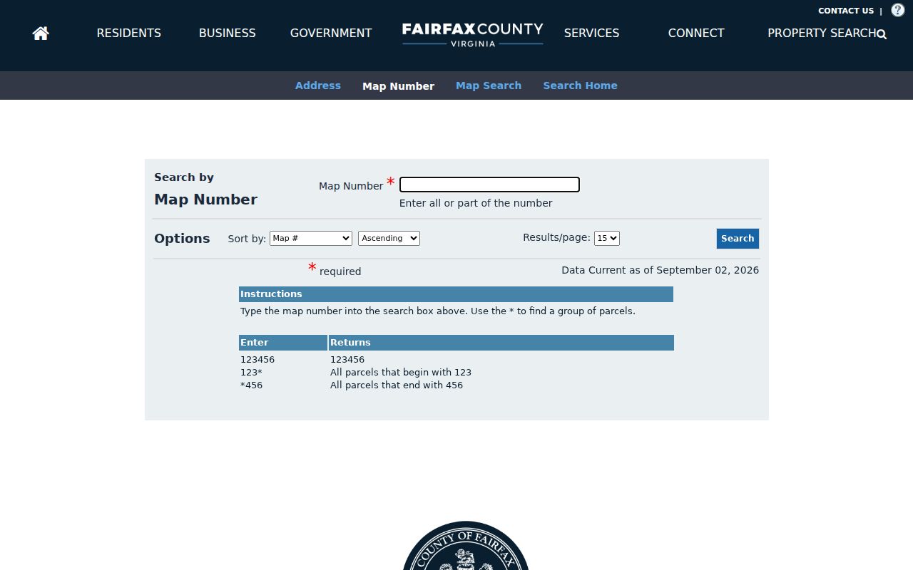
The map-number path reinforces why a parcel identifier belongs beside, rather than in place of, a street address.
Note: An assessment card helps orient a street search, but it does not certify title, identify occupants, or replace a boundary survey.
Search Chantilly Addresses in MAR
Fairfax MAR is the county's authoritative site-address source. Its Address Search can filter address number, street name and type, city, ZIP code, parcel ID, subdivision, created date, expired date, and status. Current addresses are the default. Historical or all status can reveal an expired line or an earlier form, and Street Search can include used or reserved street names. Filtered and complete address tables can be exported from the service.
For a whole named street, first use Street Search with the street name and type, then compare result rows with iCare. A MAR row can show that an address exists, changed status, or is tied to a parcel or subdivision. It does not show who occupies the location or prove recorded ownership. MAR also omits apartment unit numbers and addresses in the independent cities of Fairfax, Falls Church, Arlington, and Alexandria. Those limits matter when an address-search result feels incomplete.
A result may be current, historical, parcel-only, or map-returned. Mark that status before moving to a deed or directory. It is the simplest way to avoid making an empty unit search look like an empty building.
Map a Chantilly Street Parcel
Jade GIS adds parcel geometry, property reports, current and historic aerial imagery, measurement, print, share, and export tools. The county describes more than 170 available layers, so a narrow question calls for a narrow layer set. A parcel line is a visual research aid, not a legal survey boundary. For an address-based search, use the map to orient a candidate parcel and then confirm the address and recorded instrument in their own systems.
Jade's documented tools include timing, distance, units, parcel-center-point or polygon buffers, select by buffer, clear buffer graphic, output size, print, export, and image creation. A buffer can identify nearby parcels, but a nearby parcel may be a road, stream, common area, or an unaddressed tract. Record the buffer distance and selected layer before treating it as a meaningful local comparison.
Use the iCare map search when a map-number route is the better starting point for the address.
Map controls can narrow an address problem, while the source label and search date keep the resulting parcel context honest.
The Fairfax Digital Map Viewer supplies official map books by map type, year, and tile.
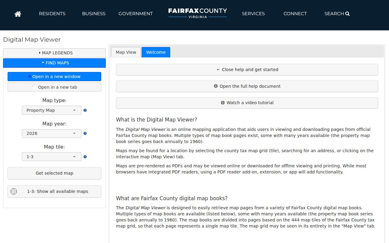
Its 444 map tiles and multiple years can show a road or building footprint, but maps do not identify an occupant.
Chantilly Address Records by Street
Each address-keyed source answers a limited question. Combining them is useful only when the source roles remain visible. The table below is a source coverage map for Chantilly, not a claim that any one source supplies a resident roll.
| Address source | County keeper | What it can establish | Access route |
|---|---|---|---|
| iCare assessment record | DTA Real Estate Division | Parcel, property location, owner or mailing data, sales, characteristics | Free address or map-number portal |
| MAR and Jade | Fairfax GIS | Address status, parcel context, geometry, imagery, map layers | Free table, map, and export tools |
| Land-record index | Circuit Court Land Records Division | Recorded parties, document reference, legal description, instrument trail | CPAN or courthouse research terminals |
| PLUS and older LDIH records | Land Development Services | Building, site, planning, zoning, or project records linked to an address | PLUS first; LDIH for earlier material |
| Historic street file | Fairfax elections | Street range, ZIP, and precinct in a 2015 snapshot | Historical geographic cross-check only |
| Reverse and community directories | Library collections | Dated listed subscriber or household clues | Physical holdings, interlibrary loan, or local-history collections |
The parcel or map number is the strongest bridge among the first three systems. A deed's legal description remains the recorded description of the transaction. A GIS outline helps locate it, but it is not a replacement for the instrument or a licensed boundary determination.
Follow Chantilly Address Deeds
The Fairfax County Circuit Court Land Records Division holds deeds, plats, liens, releases, and other land instruments from 1742 to the present. Start from a confirmed parcel and owner spelling, search the current owner as a grantee, and preserve the instrument number or book and page, record date, grantor, grantee, document type, and legal description. Open the image when available. An index line is a finding aid, not the recorded document.
Land-record research is available at free public terminals and through CPAN. CPAN is a deeper subscription path with a documented $150 per-user quarterly charge and no account sharing. Historic original Liber deed books from 1742 through 1942 are held at the Historic Records Center. Civil War destruction and missing deed books create real gaps, so a missed web hit does not establish that a transfer never occurred.
For new building, site, planning, or zoning material, use Fairfax PLUS first. PLUS began consolidating current public records on October 31, 2022; the county identifies LDIH as the route for older records. If a public result does not supply a needed code-compliance file, a focused Virginia Freedom of Information Act request can seek documented notices, reports, photographs, or a case file rather than guessing from a search snippet.
- Parcel or map number
- A county identifier for a piece of property. It is not the same as a street address.
- Situs address
- The physical location assigned to the parcel. It can differ from an owner's mailing address.
- Plat
- A recorded map depicting a subdivision, lot, easement, or other land layout. It differs from a GIS display.
- Criss-cross directory
- A reverse directory arranged by address, used to locate a dated subscriber or listed household clue.
Check Chantilly Street Geography
A street name does not stay within one records geography. The Fairfax 2015 street file shows CHANTILLY RD ranges under ZIP 20151 with different precinct codes, including 0927 and 0902. It also lists Chantilly Crossing Ln entries in ZIP 20151 and precinct 0904. That file is a historical address-to-precinct cross-check, not a current voter roll and not proof that a person lives at an address.
Postal Chantilly is also not a legal city boundary. A street can cross ZIPs, precincts, subdivisions, tax districts, or even recording jurisdictions. Preserve the county and parcel field alongside the source's original postal label. For a civic-address question, My Neighborhood can return a current address report with precinct, polling place, officials, schools, facilities, libraries, post offices, parks, and other local context.
The report helps confirm civic geography around an address, but it should not be used to infer a resident name.
Note: The individual Virginia voter portal supports personal status and polling-place use, while voter-list access remains controlled by Virginia law.
Use Chantilly Reverse Directory Shelves
Historical listed occupants are best approached through a dated directory, not by backfilling a present-day parcel record. Fairfax Community Directory volumes include Chantilly in the 1980 through 2005-06 run. The 1980 Greenbriar Telephone Directory is also cataloged as Chantilly, showing how a neighborhood name and postal label can overlap without being identical. Match the year and stated geographic coverage before attaching an entry to a particular address.
The Fairfax Virginia Room has county, community, telephone, street, neighborhood, and regional directory holdings, although it does not hold Haines Criss-Cross Northern Virginia directories. Arlington Public Library's Center for Local History has Haines runs from the early 1970s to the present that include Fairfax street addresses. Other regional reverse directories and Little Pathfinder volumes can supply a nearby subdivision clue. A listed phone subscriber may not be every household member, and a missing year is not evidence of a vacant address.
For directory collections and how entries are read across years, use the Chantilly city directory material rather than treating this street-by-street process as a complete historical shelf.
Limits of Chantilly Address Records
An address-record search can map official address and property records, but it cannot produce a complete list of current occupants. MAR omits apartment unit numbers. iCare's visible unit box does not guarantee a full unit inventory. Assessment owner, deed grantee, directory subscriber, postal recipient, and occupant are distinct roles. A mailing address can belong to a manager or owner elsewhere, while a deed records a transaction rather than a current presence.
When a county search is incomplete, use the documented fallback chain: consult the public terminal or Historic Records Center for land material, ask the clerk about copies or file review, use the Virginia Room for dated directories, and make a focused county records request for material that is actually releasable. Do not fill a blank row with an unsupported name. A blank can mean a historic address, missing unit number, changed street form, closed record, or an unresolved jurisdiction issue.
Lawful personal use. Chantilly address records are for legitimate personal, family-history, civic, and property research. Using them to stalk, harass, intimidate, or harm another person is prohibited and may violate Virginia law.